Before You Book: A Traveler's Field Guide to Reading Puerto Rico's Hurricane Risk
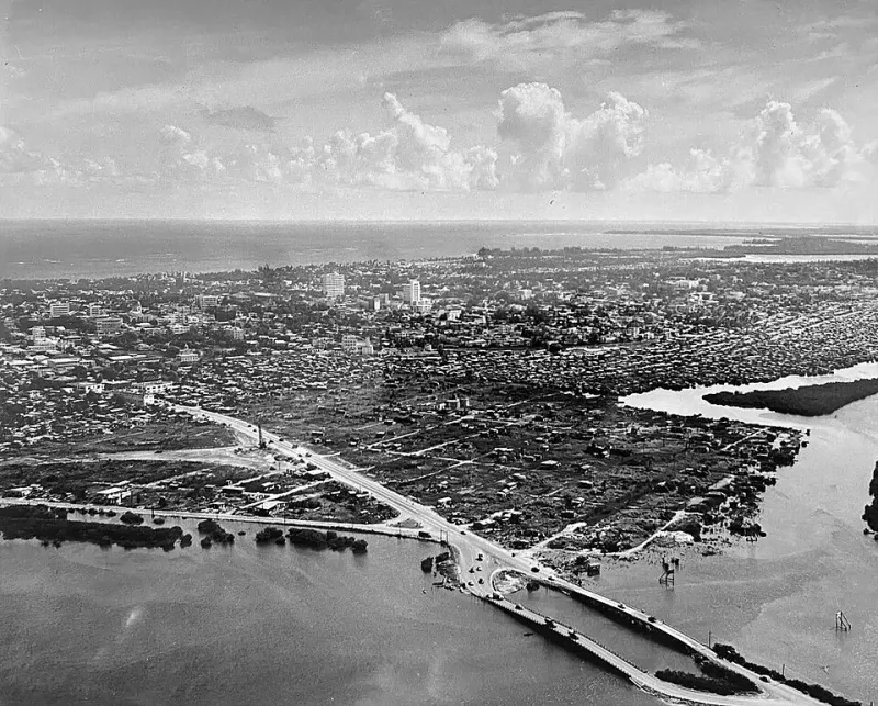
Photo: Unknown author, Public domain, via Wikimedia Commons
Every summer, the same question shows up in travel forums: is it safe to visit Puerto Rico in hurricane season? The honest answer is that the question itself is framed badly. "Island" isn't a risk category. Slope, drainage, building standards, and storm tracks are — and Puerto Rico's vary enormously from one municipality to the next.
The Season, Briefly
The Atlantic hurricane season runs June 1 through November 30, peaking between mid-August and late October. Puerto Rico sits in the main development region's path, but a full season typically brings only a handful of near misses. Most years, the island experiences nothing worse than heavy rain bands from passing systems. Historically, direct hits are measured in decades, not months.
The Geography of Vulnerability
Here's where the map reading comes in. Storm damage in Puerto Rico is not evenly distributed:
- The north coast's wide, flat floodplains — around the Río Grande de Loíza and Río de la Plata basins — hold water long after a storm passes. Low-lying inland valleys flood from rivers, not the sea.
- The urban coast around San Juan drains better than its reputation suggests in wind events but struggles with flash flooding where paved sprawl meets old drainage.
- The southern coast, shielded by the Cordillera Central, is statistically the most storm-sheltered part of the island. Hurricanes here are usually weaker, arriving after crossing terrain.
- Steep interior slopes face landslide risk, especially where roads cut into mountainsides.
If you remember one thing: water, not wind, causes most of the damage. Where does the rain go? That question answers most of the risk map.
Why "Island = Risky" Fails
Compare Puerto Rico to, say, the Gulf Coast of Louisiana or Florida's barrier islands. In many respects the island fares better: no storm surge-prone barrier islands, a mountain backbone that weakens systems crossing from the southeast, and a building stock of concrete construction that handles wind far better than wood-frame housing common on the mainland Gulf. Maria in 2017 was a catastrophic outlier — its devastation owed as much to infrastructure neglect as to the storm itself.
Practical Trip Planning
- Safest windows: early June and late November bookend the season with low statistical risk.
- Peak season, lower prices: August and September trips are feasible; buy travel insurance and book refundable rates.
- Pick your base wisely: south coast towns like Ponce and Guánica sit in the meteorological shadow of the mountains.
- Follow local sources, not headlines: the National Weather Service San Juan office provides far more accurate, localized guidance than national storm coverage.
A Framework That Travels
The same three questions work for any Caribbean destination: Where does the water collect? What are the buildings made of? How quickly does infrastructure recover? Ask them, and hurricane season stops being a gamble and becomes just another variable in trip planning — one that locals have been reading, on maps and in the wind, for centuries.