When the Ground Gives Way: Inside Puerto Rico's Landslide Country
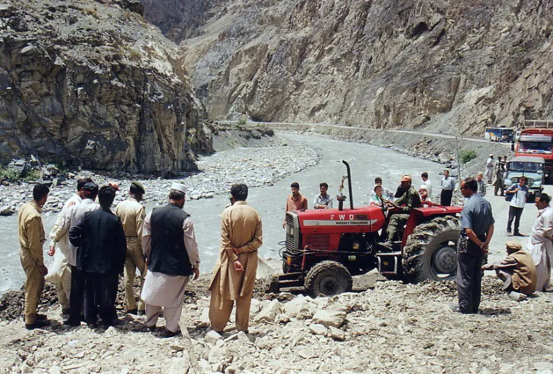
Photo: Unknown, CC BY-SA 3.0, via Wikimedia Commons
Ask most people what a hurricane does to an island and they'll picture wind and water. In Puerto Rico's interior, the answer is different: the ground itself lets go.
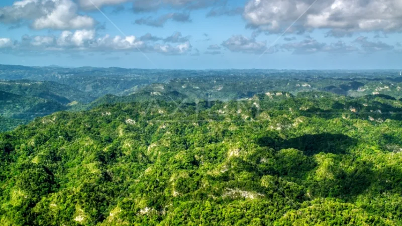
When Hurricane María crossed the island in September 2017, it set off the most intensive landslide event ever documented in the Caribbean. Researchers from the USGS and the University of Puerto Rico at Mayagüez mapped more than 70,000 slope failures from aerial imagery, with the highest density concentrated in a band of municipalities you've probably never heard of as a traveler — Utuado, Naranjito, Ciales, Orocovis, Jayuya. These aren't coastal towns. They're the steep, wet, green heart of the Cordillera Central, and they are, quite literally, coming apart at the seams.
Why These Hills Fail
Puerto Rico's mountains are young in geological terms and steep in every sense. Much of the interior sits on deeply weathered volcanic rock and tropical soils that can hold together for decades — until a storm saturates them past the tipping point. María dropped up to 38 inches of rain in some spots. That's not rainfall on a hillside; that's a hillside turned into soup.
The failure pattern isn't random, either. Slopes that were cut for roads, cleared for coffee a century ago, or loaded with houses and fill fail first and fail hardest. In Utuado, the neighborhood of Sansueña became the poster child: homes perched on a slope that had been creeping for years, finally abandoned after the storm made the danger undeniable.
The Road Problem
Here's the practical consequence most visitors never think about: the roads into Puerto Rico's mountain towns are the same roads that fail. PR-10, PR-111, PR-155 — after a major storm, whole municipalities can be functionally cut off for days or weeks. For residents, that means the pharmacy run, the commute, the ambulance route all depend on slopes that geography has marked as high-risk.
Why Stay?
So why do people keep living — and rebuilding — on ground that moves? The honest answer is a mix of things. Mountain land is affordable in a way that coastal land no longer is. Family plots pass down through generations. And the interior is where deep Puerto Rican cultural identity lives: the coffee towns, the caserío traditions, the landscapes that show up on every tourism poster.
The smarter path forward isn't wholesale relocation — it's reading the terrain better. Slope maps, better drainage, and honest zoning could keep communities in place while pulling the most dangerous structures off the worst slopes. The mountain isn't going anywhere. The question is whether we build like we know that.