Climbing a Rainforest in Your Pajamas: Why El Yunque's Elevation Bands Are the Best Free Geography Lesson in America
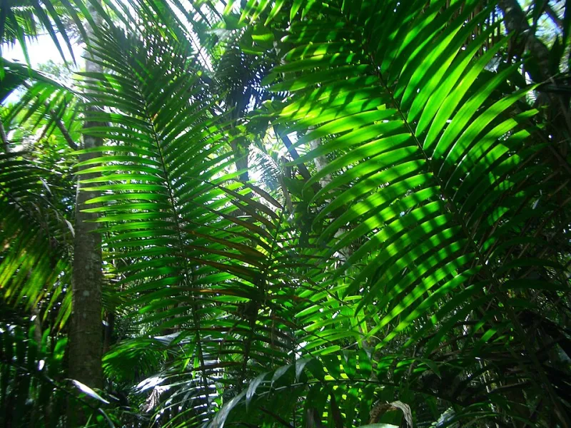
Photo: EgorovaSvetlana, CC BY-SA 4.0, via Wikimedia Commons
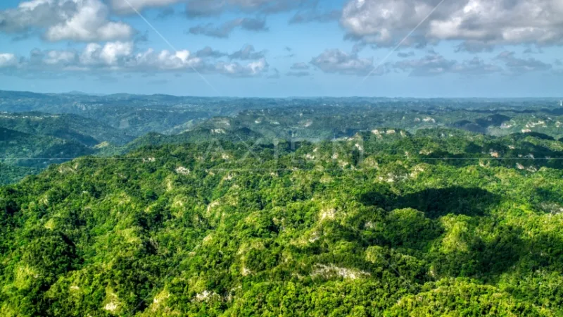
Here's a fun fact to drop at your next barbecue: US citizens can visit a tropical rainforest without leaving the country. No passport, no connecting flight through San Juan — well, actually, yes through San Juan, but you get the idea. El Yunque National Forest, tucked into the Luquillo Mountains about 45 minutes east of the metro area, is the only tropical rainforest in the US Forest System, and it packs four distinct forest types into roughly 28,000 acres.
The reason? Elevation. El Yunque is basically a vertical cross-section of Puerto Rican geography, and if you pay attention, you can read it like a layer cake as you drive or hike upward. Let's climb it.
The Foothills: Where the Forest Gets Its Start
The lower slopes, from around 500 to 1,500 feet, are dominated by tabonuco forest — tall, shade-loving trees with buttressed roots that look like something out of a movie set. This is the warmest, driest band, sitting around 75-80°F most days. It's also where most of the trailheads and visitor facilities cluster, so if you're short on time, you'll still get a real taste of the ecosystem here.
Keep an eye out for the Puerto Rican parrot recovery program. The green-and-red Amazona vittata is one of the most endangered birds on Earth, and the fact that you can see captive-raised birds in these trees at all is a conservation story worth knowing before you visit.
Palo Colorado Country: The Middle Band
Between roughly 1,500 and 2,500 feet, the forest shifts. Tabonuco gives way to palo colorado, a tree with beautiful red-brown bark that thrives in wetter, cooler conditions. Temperatures drop a few degrees, mist becomes a regular guest, and the understory gets denser with ferns and bromeliads.
This is also where the trails start feeling like a workout. The Mina Falls Trail — the most popular hike in the forest — climbs through this band, and the payoff is a 35-foot waterfall and a swimming hole that will ruin you for hotel pools.
Into the Clouds: The Dwarf Forest
Above 2,500 feet, something strange happens. The trees shrink. Way down. The sierra palm and elfin forest here are stunted by nearly constant wind, fog, and saturated soil — the trees rarely top 12 feet even though they're decades old.
This is vertical geography in action: the trade winds that give Puerto Rico its famous east-side surf get forced up the mountain, cool as they rise, and dump moisture as cloud. El Yunque literally makes its own weather, which is why it gets over 200 inches of rain a year in the highest zones — more than four times what the south coast receives.
If you hike to Mount Britton and hit the dwarf forest on a clear day, count yourself lucky. On a foggy day, you'll get something arguably better: the eerie, dripping, otherworldly experience of standing inside a cloud.
Planning Your Visit
- Reservations: The forest uses a timed-entry permit system for the main recreation area. Book ahead on Recreation.gov, especially for weekends.
- Timing: Go early. Clouds build by midday, and afternoon rain is nearly guaranteed.
- What to bring: Rain shell, grippy shoes, and layers — the temperature difference between base and summit is real.
- Getting there: Rent a car from San Juan. The drive through Río Grande and Luquillo is half the fun.
El Yunque is a masterclass in how a single mountain can hold multiple worlds. Climb it slowly, and you'll understand more about Puerto Rico's geography in one afternoon than most guidebooks can teach you.