Skip the Beach for a Day: Driving Puerto Rico's Limestone Country, Where the Island Gets Weird
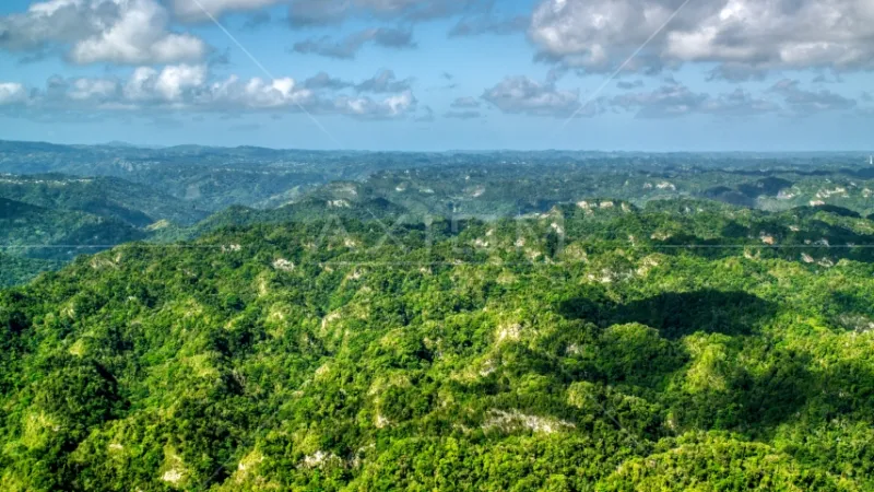
Photo: mogotes karst limestone hills Puerto Rico aerial, via d3id27w0mcelg6.cloudfront.net
Let me make an unfashionable argument: Puerto Rico's most interesting geography isn't at the beach. It's inland, along a stretch of the island where the ground itself seems to be dissolving — because, well, it is.
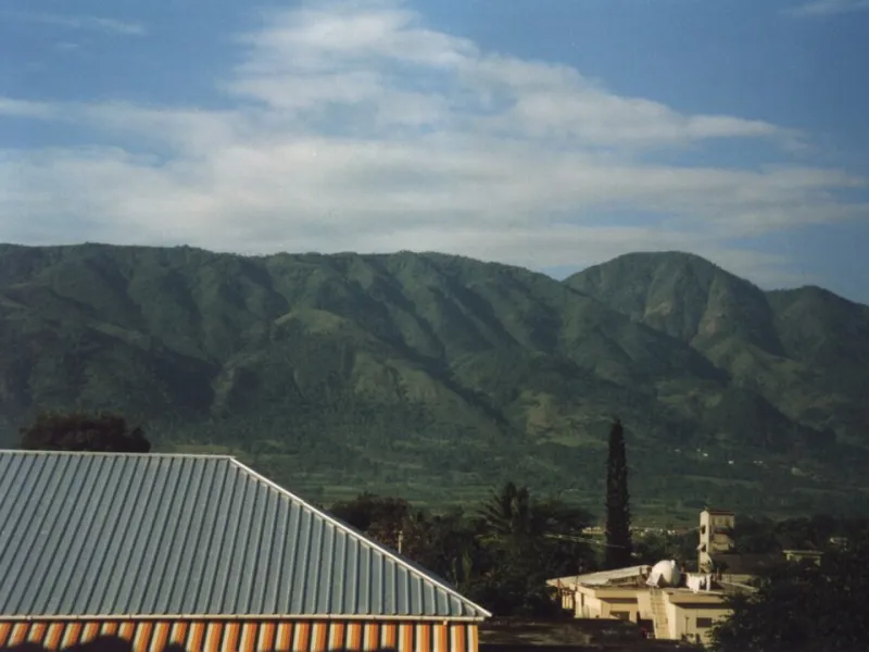
The northern karst belt runs roughly from Loíza west to Aguada, but its most dramatic stretch sits between Arecibo and San Sebastián. This is a landscape of mogotes — steep-sided limestone hills that look like haystacks scattered across a green plain — pocked with sinkholes, laced with caves, and threaded with rivers that vanish underground and reappear miles away. If you've ever driven the expressway through here and wondered what those strange hills were, this is your answer. And your itinerary.
What Exactly Is Karst?
Karst forms where rainwater, slightly acidic from absorbing carbon dioxide, slowly eats away at soluble limestone over millions of years. Water finds cracks, widens them, and eventually carves out a three-dimensional plumbing system: sinkholes on top, caves below, disappearing streams in between.
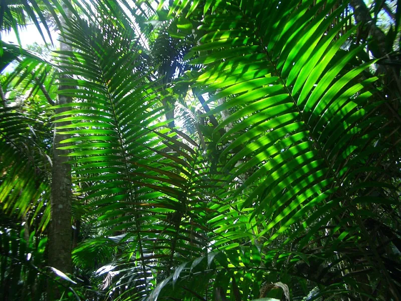
Puerto Rico's karst belt is one of the most extensive in the Caribbean, and it does real work for the island. The limestone aquifers beneath it supply a major share of the north coast's drinking water, and the forest growing on the mogotes — the subtropical moist forest of the Karst Conservancy's protected lands — shelters species found almost nowhere else.
The Drive: A One-Day Loop
Start in Arecibo and work your way southwest.
Stop 1: Cueva Ventana. A shallow cave on a clifftop with a picture-window view over the Río Grande de Arecibo valley. It's popular for a reason — go with a guide, go early, and bring decent shoes.
Stop 2: Cueva del Indio. On the coast just north of Arecibo, this sea cave combines karst geology with ocean spray, plus petroglyphs left by the Taíno. At sunset, the natural rock arches here are arguably the best photo in northern Puerto Rico.
Stop 3: Camuy River Cave Park. One of the largest cave systems in the Western Hemisphere, carved by the Río Camuy, the third-largest underground river in the world. Reservations are essential; the guided tour takes you into a cathedral-sized cavern with a living river running through it.
Stop 4: San Sebastián. Finish with lunch in the plaza town of San Sebastián del Pepino, a classic example of how interior Puerto Rican towns grew up in the valleys between mogotes, where the flat land and springs were. The annual Fiestas de la Calle San Sebastián namesake connection to Old San Juan is a point of local pride.
Why the Karst Shaped Everything
This terrain made history, not just scenery. Mogotes were hard to clear and farm, so settlement clustered in the valleys — which is why the towns out here are strung along river corridors rather than spread evenly. Roads had to thread between hills or blast through them, which is why the expressway feels like a rollercoaster. And the caves gave the Taíno — and later, runaway enslaved people and independence-era rebels — places to hide.
Even agriculture bent to the geology: the fertile sinkhole floors, called hoyas, became small farms tucked into the hills like secret gardens.
Practical Notes
- Rent a car; there's no realistic way to do this loop by public transport.
- Bring cash for roadside lechoneras and fruit stands in the interior.
- Cave tours book out days in advance in high season.
- Cell service gets patchy between towns — download offline maps.
The beach will still be there tomorrow. The landscape that dissolves an inch every few thousand years won't wait forever — and honestly, it's the side of Puerto Rico most visitors never even know exists.