The Island's Best-Kept Secret Is a Sponge: In Defense of Puerto Rico's Karst Country
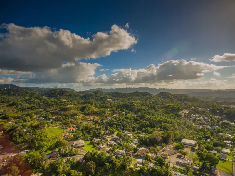
Let me make an unfashionable argument: the most important landscape in Puerto Rico isn't El Yunque, isn't the bioluminescent bays, and isn't a single beach. It's a band of gnarled limestone hills stretching across the island's north — and it's in more danger than most people realize.
The Landscape That Breaks the Rules
The karst belt runs roughly from Aguadilla to Loíza, about 300 square miles of Jurassic-to-recent limestone. Rain doesn't run off this terrain the way it does elsewhere on the island. Instead, it dissolves the rock itself, disappearing into a labyrinth of sinkholes (sumideros), caves, and subterranean streams. Hydrologists estimate that this region supplies drinking water to a huge share of the island's northern population — water that travels entirely underground.
This is why the karst belt has essentially no surface rivers. It's a sponge. And that fact has consequences most people never connect: whatever gets dumped on this land ends up in the aquifer. There's no river to carry pollution out to sea. It just percolates down, toward the wells.
The Mogotes
The visual signature of the karst is the mogote — steep-sided limestone haystack hills that rise like towers from the coastal plain. Drivers on the toll road between San Juan and Arecibo pass them without a second glance, which is a shame, because mogote forests harbor extraordinary endemism. Plants like the palo de jazmín grow nowhere else on Earth. The Puerto Rican boa hunts in these caves. Fifteen of the island's land snail species are karst specialists.
The Case for Protection
Here's my opinion, plainly stated: Puerto Rico has under-protected its karst for decades, and the pressure is only building. As coastal land gets expensive and post-María reconstruction accelerates, development keeps pushing north into the limestone. Quarrying has already chewed through significant mogote forest. Every ridge removed is a piece of the island's water infrastructure and its biodiversity, permanently.
There's a model for doing better. The Karst Conservation Zone established in 1999 and the growing network of protected tracts — including areas around the Camuy River cave system, one of the largest cave networks in the Western Hemisphere — prove that conservation and the north's economy can coexist. Ecotourism in the karst is barely tapped. Cave tours, mogote hiking, birding: this could be the island's next great destination, if the landscape survives long enough to become one.
The postcard version of Puerto Rico is palm trees and surf. The real Puerto Rico includes 300 square miles of dissolving stone quietly filtering the water that half the north drinks. It deserves to be more than a blur from the highway.