Why the Same Towns Keep Flooding: Puerto Rico's Geography of Disaster and Recovery

Photo by Photo by Jennifer Chen on Unsplash on Unsplash
If you look at a map of Puerto Rico overlaid with hurricane damage data from the past three decades, something jumps out almost immediately. The same municipalities show up again and again — Utuado, Morovis, Yabucoa, Loíza. It's not bad luck. It's geography.
Puerto Rico sits in one of the most meteorologically active corridors on the planet, right in the main lane of Atlantic hurricane traffic. But the why behind uneven disaster recovery isn't just about storm tracks and wind speeds. It's about mountains, soil, drainage patterns, and decades of infrastructure decisions that were made — or ignored — in response to those physical realities.
The Island's Interior Is a Beautiful Problem
The Cordillera Central, the spine of mountains that runs east to west across Puerto Rico's interior, is one of the island's most stunning geographic features. It's also one of its most persistent infrastructure nightmares.
When a major hurricane moves over mountainous terrain, rainfall intensifies dramatically on windward slopes — a process called orographic lift. Clouds are forced upward, cool rapidly, and dump enormous amounts of rain in concentrated areas. During Hurricane María in 2017, some interior municipalities received over 30 inches of rain in less than 24 hours. The mountains didn't cause the storm, but they amplified its impact in ways that flat terrain simply wouldn't.
The problem compounds quickly. Steep hillsides mean water moves fast, carrying soil and debris into narrow river valleys. Roads in the interior — many of them single-lane, built decades ago along ridgelines — are among the first things to fail. Landslides are routine. And because these roads are often the only access routes to small mountain communities, a single blocked passage can cut off entire towns from emergency services, water deliveries, and repair crews for weeks.
After María, some communities in the interior waited months for road access to be restored. That's not just inconvenient — it's a cascading failure that delays every other part of recovery.
Soil That Moves
Not all ground is created equal. Puerto Rico's geology varies significantly across the island, and that variation matters enormously when rain starts falling at hurricane intensity.
The island's interior mountains are dominated by clay-heavy soils that become saturated quickly and lose structural cohesion under sustained rainfall. These soils are highly susceptible to landslides, a fact that's well documented in Puerto Rico's geological surveys but often underweighted in infrastructure planning decisions. When a hillside gives way, it doesn't just block a road — it can take out water mains, electrical poles, and in some cases, entire house foundations.
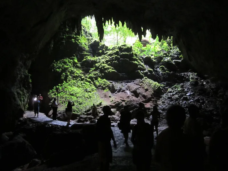
The karst limestone regions in the north and northwest present a different challenge. Karst terrain is riddled with underground voids, sinkholes, and cave systems — something we've covered in depth here on Geografía Puerto Rico before. These features make the land inherently unstable under the weight of heavy infrastructure. Burying utility lines in karst zones is complicated and expensive. Running aboveground lines through the same zones means they're perpetually exposed to wind damage. Either way, restoring power and communications in these areas after a storm is a slow, technically demanding process.
The Coast Looks Safe Until It Doesn't
While the mountains absorb the worst of the rainfall, Puerto Rico's coastline takes the direct hit from storm surge and wave action. And here's where decades of development decisions start to show their consequences.
Large portions of Puerto Rico's coastal flatlands — particularly in the northeast and southeast — were historically developed without adequate consideration of flood risk. In some areas, this development happened during the sugar cane era, when agricultural infrastructure was built across naturally flood-prone lowlands. In others, it happened more recently, driven by tourism development or housing pressure.
Communities like Loíza and Canóvanas, situated in the floodplain of the Río Grande de Loíza, flood repeatedly not because anyone failed to anticipate the risk — the maps have always shown it — but because the infrastructure was built there anyway, and the people who live there often have the fewest resources to relocate or harden their homes against future storms.
This is where physical geography and economic geography become impossible to separate. Flood-prone areas are frequently lower-income areas. That's not a coincidence. It's the product of land markets, historical exclusion, and the simple reality that waterfront land with flood risk is often the only affordable option for families with limited means.
The Recovery Loop
Here's the cycle, laid out plainly: a storm hits, infrastructure fails in the same vulnerable zones, repairs are made to restore what existed before, and then the next storm damages the same systems in the same places.
The reasons this loop persists are partly geographic and partly political. Rebuilding to pre-storm standards is faster and cheaper than rebuilding to higher standards. Federal disaster funding, while substantial, often flows through bureaucratic channels that prioritize speed over transformation. Local governments, many of them underfunded and understaffed, lack the technical capacity to redesign infrastructure systems from scratch while simultaneously managing an active recovery.
There's also a geographic equity issue embedded in the recovery process itself. Communities in the interior, already harder to reach, tend to receive resources later and in smaller quantities than more accessible coastal municipalities. The physical difficulty of working in mountainous terrain inflates costs, which can lead planners to defer or downscale projects in those areas. The result is that the places most geographically vulnerable to storms are also the places where recovery investments are hardest to deliver efficiently.
Reading the Land Before the Storm
Some researchers and planners are pushing for what they call geographically informed resilience — essentially, using the island's physical geography as the starting point for disaster preparedness rather than an afterthought.
This means mapping not just where storms have hit, but where the terrain itself creates compounding vulnerabilities: steep slopes above critical roads, karst zones beneath utility corridors, floodplains occupied by essential services. It means asking, before the next storm arrives, which communities will be cut off first and why.
Puerto Rico's geography is not going to change. The Cordillera Central will keep lifting storms and wringing out rainfall. The karst north will keep presenting challenges to anyone trying to bury infrastructure underground. The coastal lowlands will keep absorbing storm surge. What can change is how the island — and the federal systems that fund its recovery — responds to those fixed realities.
The land has been trying to tell us something for a long time. The question is whether the people drawing the recovery maps are listening.