Lines Drawn Long Ago: How Spanish Colonial Geography Still Runs Puerto Rico's Map
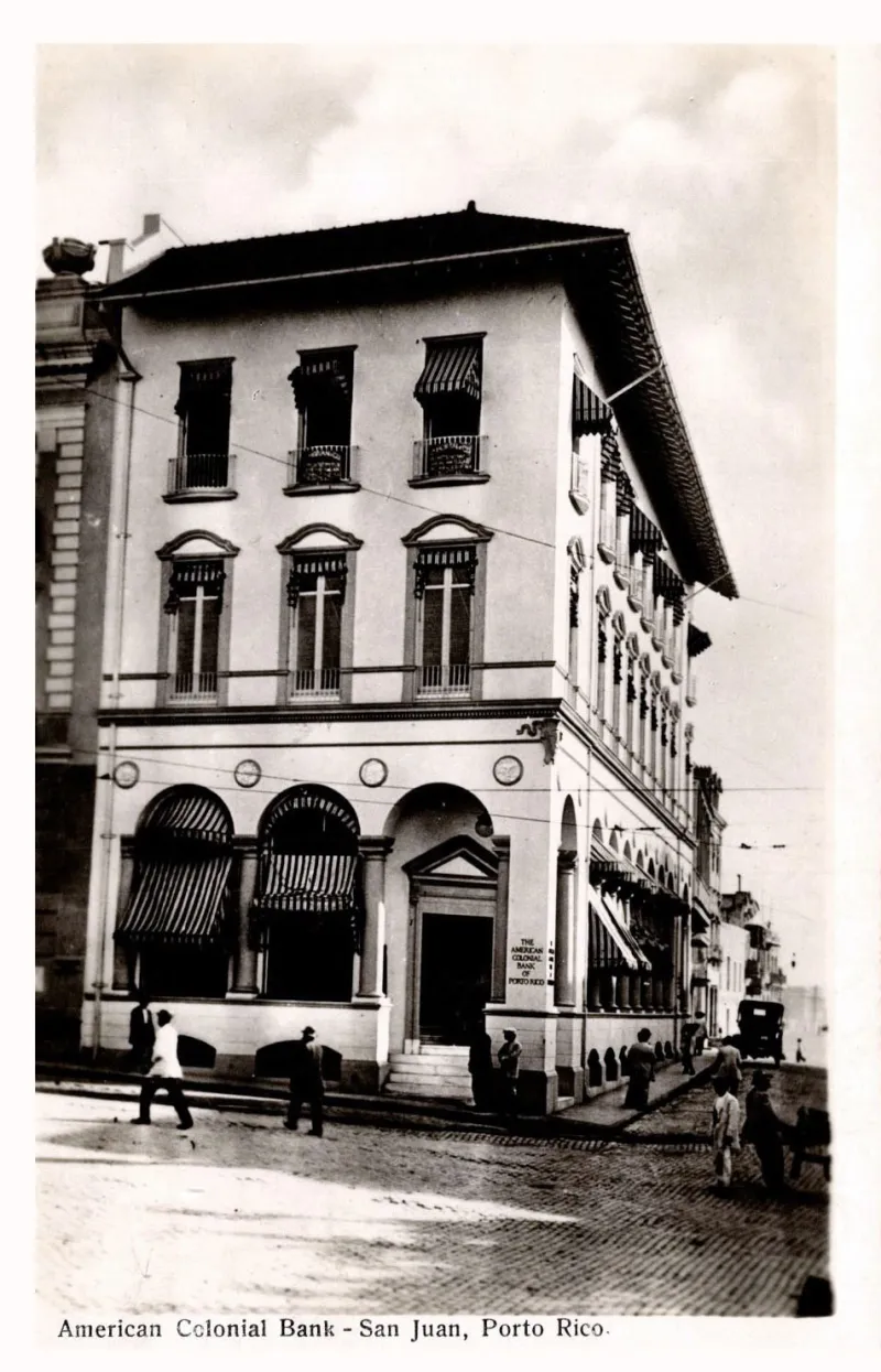
Photo: Waldrop Photographic Co., San Juan, Public domain, via Wikimedia Commons
Pull up a map of Puerto Rico and look at where the cities are. San Juan sits on the northeast coast. Ponce anchors the south. Mayagüez holds the west. Arecibo stretches along the north. Now look at the interior — the Cordillera Central, the mountain municipalities of Adjuntas, Utuado, Jayuya — and notice how much smaller, how much more isolated, those communities appear. That pattern isn't random. It's the physical imprint of five hundred years of colonial geography, still visible in every road, every water line, and every municipal boundary on the island today.
The Spanish Built for Ships, Not People
When Spain established permanent settlements in Puerto Rico beginning in the early 1500s, the logic was almost entirely maritime. San Juan was chosen as the colonial capital because its natural harbor could be fortified and because it sat on the Atlantic shipping lanes connecting Spain to its American empire. El Morro and San Cristóbal weren't just military installations — they were the physical anchors of a geography built around controlling sea traffic.
This port-first development model shaped everything that came after. Roads were built to move goods from interior production zones to coastal ports, not to connect communities to each other. The colonial grid radiated outward from harbor towns, and the interior was treated as a resource extraction zone rather than a place where people needed infrastructure investment. Sugar, coffee, and ginger moved down to the coasts. Manufactured goods and administrative decisions moved back up. The mountain communities existed to produce, not to participate.
That extractive logic created a geographic hierarchy that persists today. The coastal municipalities — San Juan, Ponce, Mayagüez, Bayamón — concentrate the island's hospitals, universities, government offices, and economic activity. Interior municipalities often lack the same density of services, and their residents frequently have to travel significant distances for healthcare, higher education, or even reliable broadband access.
The Hacienda System and Permanent Demographic Grooves
Spanish colonial land grants, called haciendas, carved the interior landscape into large agricultural estates worked by enslaved Africans and later by jíbaros — rural Puerto Rican farmers — under systems of debt labor. The hacienda system didn't just organize agriculture; it organized people. Workers lived where the land needed them, creating settlement clusters that had nothing to do with natural geography and everything to do with plantation logistics.
When the hacienda system eventually collapsed under American administration after 1898 and the sugar industry mechanized through the 20th century, those settlement clusters didn't disappear. The people stayed. The roads that had been built to service the haciendas remained. The community boundaries that had formed around plantation geography became the municipal boundaries that Puerto Rico still uses today.
Look at the western mountain municipality of Maricao, for example. Its boundaries essentially trace the edges of the old coffee-growing hacienda zones in the Cordillera's western slopes. The town itself sits where the administrative center of that agricultural region once stood. The geography of labor became the geography of community.
78 Municipalities and the Question of Who They Serve
Puerto Rico has 78 municipalities — an unusually high number for an island its size. For comparison, Connecticut, which is roughly the same area, has 169 towns, but those towns developed organically from New England settlement patterns over centuries. Puerto Rico's 78 municipalities were largely formalized under Spanish administrative law and then inherited wholesale by American governance after 1898.
The problem with inheriting a colonial administrative map is that it encodes colonial priorities. Many interior municipalities have small tax bases, limited commercial activity, and aging infrastructure because they were never designed to be self-sustaining economic units. They were designed to be subordinate nodes in a coastal-focused system. When that system changed — when sugar declined, when the island industrialized under Operation Bootstrap in the 1950s, when manufacturing shifted to the coast and to metropolitan areas — the interior municipalities were left holding administrative responsibility without the economic foundation to exercise it meaningfully.
This matters practically. Municipal governments in Puerto Rico are responsible for local roads, some public services, and community facilities. A municipality like Adjuntas, with a population under 20,000 and a rugged mountain geography that makes infrastructure maintenance expensive, faces structural disadvantages baked in by decisions made before anyone alive today was born.
Hurricane Maria and the Geography of Vulnerability
When Hurricane Maria hit Puerto Rico in September 2017, it exposed the colonial geography of the island with brutal clarity. The communities that lost power last and got it back first were, overwhelmingly, the coastal urban centers — San Juan, Bayamón, the northeastern corridor. The communities that went months without power, where the death toll was highest relative to population, were disproportionately the interior mountain municipalities.
This wasn't just about storm geography, though the mountains did take a direct hit. It was about infrastructure geography. The power grid had been built with the same coastal-to-interior logic as the colonial road system — designed to move energy from coastal generation facilities toward the population centers that mattered most to the system's designers. Interior communities sat at the ends of long, poorly maintained transmission lines that were the first to fail and the last to be repaired.
Researchers and journalists who covered the Maria recovery consistently documented that the recovery timeline correlated strongly with colonial-era development patterns. Communities that had been peripheral in 1800 were peripheral in 2017. The map had barely moved.
Reading the Island Differently
For travelers visiting Puerto Rico, this history offers a different way to experience the island's geography. When you drive from San Juan into the Cordillera Central and notice how the road quality changes, how the services thin out, how the towns feel different in scale and character — you're not just observing a rural-urban divide. You're reading five centuries of geographic decision-making.
The coastal fortifications at Old San Juan are obvious colonial artifacts. But the distribution of hospitals, the location of highways, the size of municipal budgets, and the demographic patterns of who lives where on this island are colonial artifacts too — just less visible ones. Geography doesn't forget. It accumulates.
For students of urban planning, political geography, or Latin American history, Puerto Rico is an unusually legible case study. The colonial map and the contemporary map are close enough to compare directly. The lines drawn in the 16th and 17th centuries are still, in most cases, the lines that determine opportunity and isolation today. That's not ancient history — it's the geography you're standing in.