Where Plates Collide and Cultures Converge: The Geography Behind Puerto Rico's Outsized Role in the Caribbean
Photo: Old School WWC Fan, CC BY-SA 4.0, via Wikimedia Commons
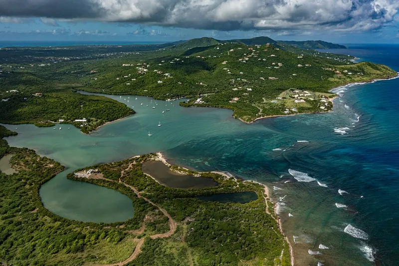
Puerto Rico is easy to underestimate on a map. It's roughly the size of Connecticut, tucked between the Dominican Republic and the U.S. Virgin Islands, surrounded by a whole lot of blue. But zoom out a little, and the picture changes fast. The island sits at one of the most geologically and geopolitically charged intersections in the entire Western Hemisphere—and that location has been shaping everything about it, from the rocks under your feet to the music in the street, for millions of years.
A Tectonic Balancing Act
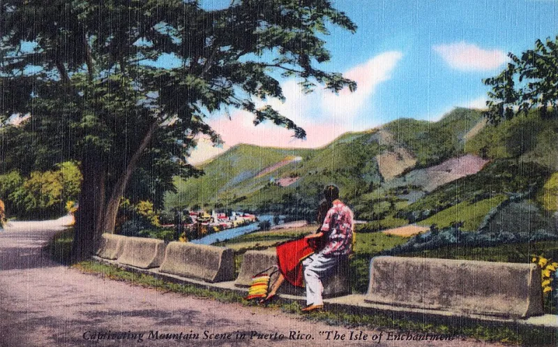
Puerto Rico rides the northeastern edge of the Caribbean Plate, where it grinds against the North American Plate in a slow-motion collision that's been going on for roughly 70 million years. That friction built the island's backbone—the Cordillera Central, a spine of mountains that runs east to west across the interior and tops out near 4,390 feet at Cerro de Punta.
But the geology here is more complicated than a simple two-plate story. Just north of Puerto Rico lies the Puerto Rico Trench, the deepest point in the entire Atlantic Ocean, plunging to about 28,000 feet. That trench is a product of the same tectonic tension, and it's a constant reminder that the island doesn't just sit near active geology—it's embedded in it.
Earthquakes are a real part of life here. The 2020 sequence that struck the southwestern coast, including a 6.4-magnitude main shock, caused significant damage and displaced thousands of residents. Seismologists have long pointed to the island's tectonic position as the reason Puerto Rico faces elevated earthquake risk compared to most U.S. territories. Understanding that isn't meant to be scary—it's just geography doing what geography does.
Ocean Currents and the Island's Natural Climate Engine
Position matters for weather, too. Puerto Rico sits right in the path of the northeast trade winds, those reliable easterly breezes that sailors depended on for centuries to cross the Atlantic. Those same winds drive warm Caribbean surface water westward, keeping the island's eastern shores consistently wetter and more lush than the drier southwestern coast.
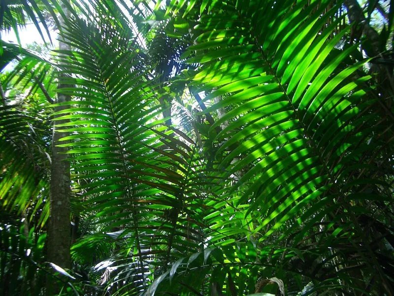
The warm Caribbean Sea surrounding the island acts like a heat reservoir, moderating temperatures year-round and feeding the moisture that fuels Puerto Rico's diverse ecosystems—from cloud forests in the mountains to dry scrublands near Guánica. The island doesn't experience the dramatic seasonal temperature swings that most of the continental U.S. does, but it sits squarely in the Atlantic hurricane belt, which means from June through November, that same warm water becomes a potential energy source for powerful storms.
Hurricane María in 2017 is the most devastating recent example, but the island's exposure to tropical systems is fundamentally a function of where it sits on the globe, not bad luck.
Why Every Empire Wanted This Island
When Christopher Columbus arrived in 1493, he wasn't just finding a pretty island—he was finding a natural harbor at the gateway to the Caribbean. San Juan Bay, sheltered by a narrow channel and surrounded by defensible high ground, was almost purpose-built for colonial ambition. The Spanish recognized it immediately and spent the next century turning it into one of the most heavily fortified positions in the Americas.
Castillo San Felipe del Morro and Castillo San Cristóbal weren't just impressive architecture—they were geographic logic made out of stone. Whoever controlled San Juan controlled the sea-lanes connecting Spain's American empire. English, Dutch, and French forces all tried to take the city at various points. The geography made it worth fighting over.
That same logic held in 1898, when the United States acquired Puerto Rico following the Spanish-American War. The island's position mattered enormously to U.S. naval strategists. Controlling Puerto Rico meant controlling the northeastern Caribbean, the approaches to the Panama Canal, and key shipping lanes to South America. The Roosevelt Roads Naval Station, which operated until 2004, and the current presence of U.S. military infrastructure on the island are direct descendants of that strategic calculus.
Cultural Geography at a Crossroads
Geography doesn't just shape rocks and weather—it shapes people. Puerto Rico's position as a transit point between continents and cultures produced one of the most layered cultural identities in the Americas. Indigenous Taíno communities had already built sophisticated agricultural and trade networks across the Caribbean before European contact. Spanish colonization brought African enslaved people, whose descendants contributed enormously to the island's music, food, religion, and language. Later waves of immigration from Corsica, Ireland, China, and elsewhere added more threads to the fabric.
The result is something genuinely distinct. Puerto Rican Spanish sounds different from Mexican or Cuban Spanish. The island's cuisine—rice and beans, lechón, mofongo—reflects a specific fusion that couldn't have happened anywhere else. Even the rhythms of salsa and bomba carry the imprints of multiple continents, filtered through the particular history of this particular island at this particular spot in the ocean.
What Location Means for Puerto Rico Today
The geographic advantages that made Puerto Rico strategically valuable to empires haven't disappeared—they've just been reframed. The island's position makes it a natural logistics hub for Caribbean commerce. Its time zone and bilingual workforce have attracted pharmaceutical manufacturing, financial services, and, more recently, cryptocurrency and remote-work communities drawn by tax incentives.
At the same time, that same location keeps Puerto Rico on the front lines of climate change impacts—rising sea levels, intensifying hurricanes, and warming ocean temperatures all hit harder when you're a low-lying island in a warming sea. The geographic forces that shaped Puerto Rico's past are still very much writing its future.
None of that is accidental. It's all geography.