Neither Here Nor There: How Puerto Rico's Geography Refuses to Fit Any Political Box
Pull up any map of the Caribbean and Puerto Rico shows up looking like a small, tidy rectangle floating east of Hispaniola. It's labeled a US territory, colored to match the mainland, and filed neatly under American jurisdiction. But spend any real time looking at the island's terrain — its mountain ridges, its trade wind patterns, its ocean boundaries, its soil — and a more complicated picture starts to emerge. The land doesn't care about political categories. It just keeps doing what it's always done.
That gap between political label and geographic reality is one of the most interesting things about Puerto Rico. And it's something a lot of people on the mainland rarely stop to think about.
An Island That Belongs to the Caribbean First
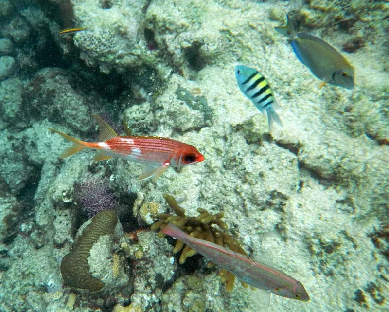
Before Puerto Rico was a US territory, before it was a Spanish colony, it was simply a Caribbean island. And the Caribbean doesn't stop being the Caribbean just because a flag changed. The island's physical geography — its volcanic core, its limestone karst terrain in the north, its coral reefs, its tropical climate driven by Atlantic trade winds — connects it far more directly to Barbados, Trinidad, or Martinique than to, say, Florida.
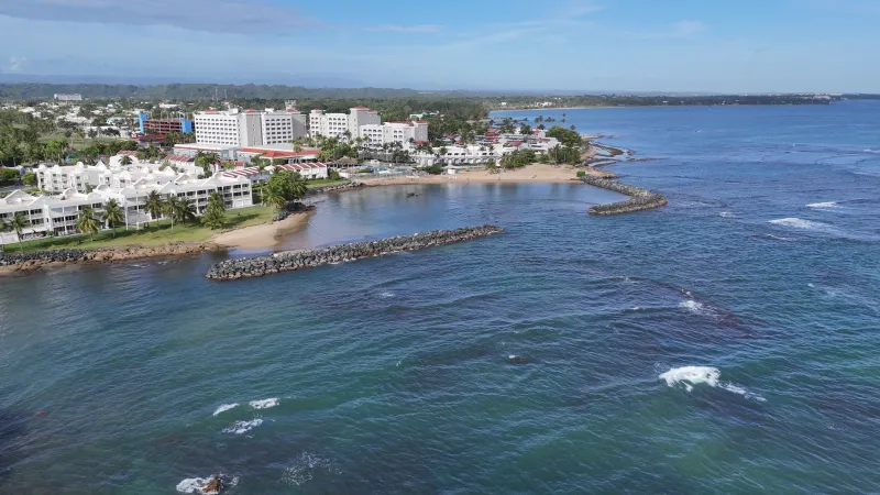
The island sits on the northeastern edge of the Caribbean plate, wedged between the Atlantic Ocean to the north and the Caribbean Sea to the south. That positioning shapes everything. Weather systems arrive from the Atlantic. Hurricanes track in from the southeast. The ocean temperature on the north coast behaves differently than the south coast. None of that follows the political map. All of it follows the physical one.
For students and travelers trying to understand Puerto Rico, this is a useful starting point: the island's environment operates on Caribbean logic, not continental American logic. That's not a political statement — it's just geography.
The Terrain Doesn't Compromise
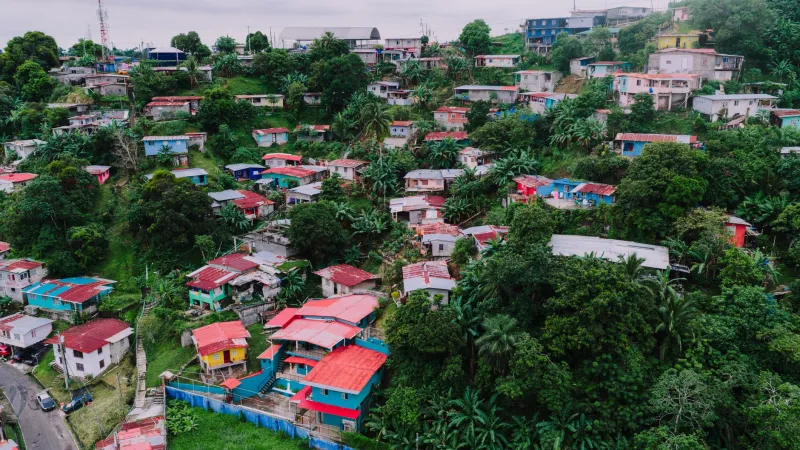
The central mountain range — the Cordillera Central — runs east to west across the island's interior like a spine that refuses to be ignored. These mountains create dramatic climate variation across short distances. The northern slopes catch moisture from Atlantic winds and stay lush and green. The southern slopes fall into a rain shadow and run dry. Two towns separated by twenty miles of mountain can experience entirely different agricultural realities, water availability, and infrastructure challenges.
That terrain has always complicated the relationship between Puerto Rico and external governing powers. Spanish colonizers built roads and settlements around the mountains because they had no other choice. US federal infrastructure planners have had to reckon with the same ridgelines for over a century. The mountains don't negotiate. They just sit there, dividing the island into micro-regions that each have their own character, their own water systems, their own relationship to the sky.
This is part of why Puerto Rico's infrastructure has historically been so difficult to standardize. Power grids, water distribution, road networks — all of them have to navigate a landscape that doesn't flatten out to accommodate centralized planning. That's a geographic fact with very real political consequences.
Ocean Boundaries That Mean More Than Borders
Puerto Rico's ocean territory extends well beyond its shoreline. The island controls a substantial exclusive economic zone in both the Atlantic and Caribbean, which gives it jurisdiction over significant marine resources, fishing grounds, and seabed rights. That's a form of geographic power that doesn't always make it into conversations about the island's political status.
The Puerto Rico Trench, which runs along the island's northern edge, is the deepest point in the entire Atlantic Ocean — dropping to nearly 28,000 feet. That's deeper than Mount Everest is tall. The trench also marks a seismically active zone, which shapes everything from building codes to disaster preparedness planning. The ocean around Puerto Rico isn't just scenery. It's an active geographic force.
For US readers who think of Puerto Rico mainly in terms of its domestic political relationship with Washington, the ocean dimension adds a whole other layer. Puerto Rico sits at a strategic maritime crossroads between the Atlantic and the Caribbean, between North America and South America. Its geographic position has made it militarily significant for centuries — and that strategic value has always been part of why external powers have wanted to control it.
When Infrastructure Reveals the Disconnect
One of the clearest places where geography and political status create friction is in infrastructure. The US mainland operates on a continental model — massive interconnected grids, interstate highways, pipeline networks that cross state lines. Puerto Rico, as an island, can't plug into any of that. Every kilowatt of electricity has to be generated on the island. Every drop of imported fuel has to arrive by ship. Every supply chain runs through ocean freight.
That's not a political arrangement — it's a geographic constraint. But the way those constraints have been managed, funded, and prioritized has everything to do with political status. When Hurricane Maria knocked out the island's power grid in 2017, the recovery timeline revealed just how differently an island territory gets treated compared to a continental state. The terrain made rebuilding hard. The political relationship made it slower.
Geographers who study Puerto Rico often point to this as a defining tension: the island's physical isolation demands a certain kind of investment and planning, but its political status has historically produced a different kind of attention.
A Geography That Shapes Identity
Ask Puerto Ricans how they identify, and you'll get a range of answers that reflect exactly this tension. Many feel deeply American in terms of citizenship and legal standing. Many feel deeply Caribbean in terms of culture, climate, food, and daily life. A lot feel both at once, without contradiction. The land has something to do with that.
Growing up on a tropical island with mountain ranges, rainforests, dry coastal plains, and coral reefs creates a relationship with the environment that's distinctly Caribbean. The coquí frog sings at night. The trade winds cool the evenings. The soil in the west grows different things than the soil in the east. That lived geography shapes identity in ways that no legal designation can fully override.
At the same time, the island's infrastructure, its schools, its federal programs, and its passport all connect it to the United States. So Puerto Ricans navigate a spatial identity that the map can't quite contain — one foot in the Caribbean geographic reality, one foot in the American political system.
Reading the Land Differently
For anyone trying to understand Puerto Rico — whether you're a student, a traveler, or just someone trying to make sense of the news — the geography is the best starting point. Not the political headlines, not the statehood debates, not the federal funding arguments. Start with the land.
Look at where the mountains are. Look at how the water moves. Look at where the rain falls and where it doesn't. Look at the ocean that surrounds the island on every side. That physical reality has been shaping Puerto Rican life for thousands of years, long before any colonial power drew a line around it.
The political status will keep being debated. The terrain will keep doing what it does. And the gap between those two things — between the map that politics draws and the map that the land insists on — is where a lot of Puerto Rico's most interesting stories live.