Who Gets the Water? The Hidden Geography of Puerto Rico's Aqueduct System

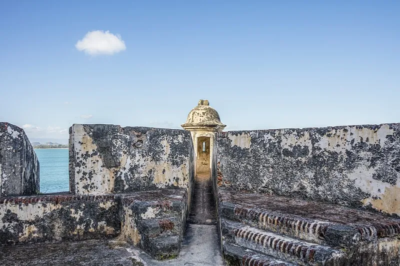
Photo by Photo by Wally Reyes on Unsplash on Unsplash
Turn on a faucet in San Juan's Condado neighborhood and water flows instantly, reliably, without a second thought. Drive an hour into the mountains of Utuado or Jayuya, and you might find something very different — a cistern that ran dry last week, a pipe that's been leaking into a hillside for years, or a community that's been boiling its drinking water since before Hurricane Maria even showed up. Same island. Wildly different realities.
That gap isn't an accident. It's geography. And it's history. And if you want to understand why Puerto Rico looks the way it does — economically, socially, regionally — following the water pipes is one of the most revealing ways to do it.
Infrastructure Built for Profit, Not People
Spain began developing Puerto Rico's formal water distribution networks in the 19th century, but the logic behind those early systems had almost nothing to do with serving the general population. The island's sugarcane economy was the engine, and water infrastructure followed the money. Coastal lowlands — where the great haciendas and export operations were concentrated — received the most investment. Irrigation ditches, early aqueducts, and distribution channels funneled water toward the crops and the landowners who grew them.
The mountainous interior, home to subsistence farmers, freed enslaved people, and the island's mixed-heritage jíbaro communities, was largely left to manage on its own. People in the highlands dug wells, collected rainwater, and relied on rivers and springs in ways that hadn't changed much in generations. This wasn't because the geography made modern infrastructure impossible — it's because the colonial economy had no incentive to pay for it.
When the United States took control of Puerto Rico after 1898, the priorities shifted somewhat but didn't fundamentally change. The new colonial administration did invest in public health infrastructure, partly to protect American military personnel and commercial interests. Aqueducts expanded. But the pattern of serving urban, coastal, and economically productive areas first — and treating rural mountain communities as secondary — remained deeply embedded in how the system grew.
The Geography of the Gap
Puerto Rico's topography makes water distribution genuinely complicated. The island's central mountain range, the Cordillera Central, rises to over 4,000 feet and creates steep, fragmented terrain that's expensive to pipe through. Rainfall is also wildly uneven — the eastern slopes of El Yunque receive over 180 inches per year, while the southwestern coast near Guánica can get less than 30. That kind of variation means water often needs to travel long distances, cross elevation changes, and pass through aging infrastructure to reach communities that happen to be in a dry region or a hard-to-reach valley.
The Puerto Rico Aqueduct and Sewer Authority — known by its Spanish acronym, PRASA — operates one of the most complex water systems in the Caribbean. It manages over 100 water systems, serves roughly 97 percent of the population in some official capacity, and deals with an infrastructure backlog that experts have estimated at several billion dollars. On paper, that coverage rate sounds impressive. In practice, "served" can mean a lot of things, and reliability varies enormously depending on where you live.
Rural municipalities in the interior — places like Orocovis, Maricao, and Las Marías — consistently rank among the areas with the most water service interruptions, the most contamination notices, and the oldest pipe networks. These are also, not coincidentally, some of the island's poorest municipalities. The infrastructure gap and the economic gap trace almost the same map.
Maria Didn't Create the Problem — It Exposed It
When Hurricane Maria struck in September 2017, Puerto Rico's water system collapsed almost entirely. At the storm's peak, nearly the entire island lost water service. Recovery was agonizingly slow — some communities waited months for running water to return. The federal response drew national attention, and for a moment, Americans across the mainland got a glimpse of how fragile the island's infrastructure really was.
But residents in rural mountain communities weren't surprised. Many of them had been dealing with intermittent service, low water pressure, and aging pipes for decades before Maria arrived. The hurricane didn't create a crisis — it made an existing one impossible to ignore. Communities that had learned to live with unreliable water simply had less resilience when the system failed completely.
Post-Maria recovery funding did flow into water infrastructure, including FEMA grants and federal allocations targeting system upgrades. But the distribution of those resources has itself been uneven, with larger, more politically connected municipalities often better positioned to navigate the grant application process than smaller, resource-strapped towns in the interior.
Water Inequality as a Window Into Regional Disparities
Geographers who study resource distribution often talk about the concept of "infrastructure redlining" — the way that decisions about where to build, maintain, and upgrade public systems tend to reflect and reinforce existing social hierarchies. Puerto Rico's water geography is a textbook example.
The island's northeastern corridor, anchored by the San Juan metro area, consistently receives the most investment, the fastest repairs, and the most modern treatment facilities. The southwestern coast, despite being one of the driest regions on the island and home to significant poverty, has historically been underserved. The interior highlands, despite sitting directly beneath the island's most important watersheds, often lack the local distribution infrastructure to actually benefit from the water flowing around them.
This creates a strange irony: communities living closest to Puerto Rico's rivers and mountain springs sometimes have the least reliable access to clean, piped water. The water is there. The infrastructure to deliver it equitably simply was never built.
What Equitable Water Geography Could Look Like
Advocates and community organizers across Puerto Rico have been pushing for a different model — one that treats water access as a right tied to geography rather than a service tied to economic value. Some of that work is happening at the local level, with community water boards (Juntas de Agua) in rural areas managing small-scale systems and pushing back against the centralization that has historically left them behind.
There are also ongoing debates about how federal infrastructure dollars flowing into Puerto Rico should be prioritized. Environmental justice advocates argue that the communities with the longest histories of water insecurity — often the same communities that have faced the most economic marginalization — should be first in line for upgrades, not last.
The geography of water access in Puerto Rico isn't just a plumbing problem. It's a map of who has mattered, historically, to the people making decisions about where to build and what to fix. Changing that map requires more than new pipes — it requires a genuine reckoning with the colonial logic that laid them in the first place.
The water is there. The question has always been who it's for.