Paved, Patched, and Forgotten: What Puerto Rico's Roads Say About Power and Place
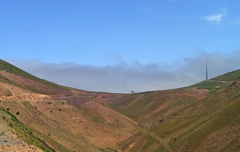
Photo: Zeynel Cebeci, CC BY-SA 4.0, via Wikimedia Commons
If you've ever driven Puerto Rico's Route 52 south from San Juan toward Ponce, you might've felt like you were on any modern American highway — smooth lanes, clear signage, the whole deal. Then you turn off toward a small mountain community in the Cordillera Central, and suddenly you're navigating a potholed, single-lane road that feels like it belongs to a completely different island. That contrast isn't an accident. It's geography, history, and economics written in asphalt.
The Colonial Blueprint That Still Shapes How You Drive
Spain didn't build roads in Puerto Rico out of generosity. The colonial road network — what little existed before the 19th century — was designed to move goods to ports, not to connect communities. Settlements in the interior highlands were largely left to fend for themselves, accessible only by narrow caminos that followed ridgelines and river valleys.
When the United States took control of the island in 1898, the approach shifted somewhat, but the underlying logic stayed the same: infrastructure went where economic value was concentrated. The coastal plains, rich with sugarcane operations and export infrastructure, got attention. The mountainous center? Not so much.
That legacy is still visible today. The primary highway arteries — PR-22 running along the north coast, PR-52 cutting south, PR-2 wrapping around the west — all trace paths that prioritize coastal commerce and urban connection. The interior municipalities, places like Adjuntas, Jayuya, and Maricao, remain connected to the broader network through roads that are narrower, steeper, and far less maintained.
What the Map Reveals About Migration
Here's something geography students don't always consider: roads don't just reflect where people live — they influence where people decide to stay or leave.
When a community is difficult to reach, it becomes harder to attract investment, medical services, schools, and jobs. Over time, that isolation compounds. Young people leave for San Juan or the US mainland. Older residents stay, often without reliable access to services. The population thins out, and with fewer residents paying taxes or advocating politically, road maintenance budgets shrink further. It's a feedback loop, and you can trace it across dozens of interior Puerto Rican towns.
After Hurricane Maria in 2017, this dynamic became impossible to ignore. Landslides cut off entire communities for weeks, sometimes months. The storm didn't create the vulnerability — it exposed infrastructure that had been quietly deteriorating for decades. Towns in Utuado and Morovis were effectively stranded, not because the hurricane was uniquely catastrophic, but because the roads connecting them to the rest of the island had never been built to withstand serious stress.
The Metro Bubble and What Lies Beyond It
Greater San Juan operates almost like a separate transportation universe. The metro area has limited expressways, overpasses, and a somewhat functional urban road grid — though anyone who's sat in traffic on PR-18 during rush hour might debate the word "functional." The point is that investment has historically concentrated here, reflecting where the political and economic center of gravity sits.
Head west through Bayamón, south through Caguas, or east toward Carolina, and you're still in the metro orbit. But push further — into the mountains, toward the southwest coast near Cabo Rojo, or into the eastern karst country near Arecibo — and the infrastructure thins visibly. Bridges that haven't been replaced in decades. Roads that flood with every heavy rain. Signage that, if it exists at all, is faded to illegibility.
This isn't just an inconvenience for locals. It shapes tourism patterns, too. Most visitors to Puerto Rico spend the bulk of their time in San Juan, Condado, or maybe the beaches of Rincón or Luquillo. The interior — with its coffee farms, rainforest trails, and genuinely stunning mountain scenery — sees a fraction of that traffic, partly because getting there feels uncertain if you don't know the roads.
The Karst Complication
Puerto Rico's physical geography throws an extra wrench into road-building that often gets overlooked. The northern karst belt — that stretch of limestone country running roughly from Arecibo to Isabela — is riddled with sinkholes, underground caves, and unstable subsurface formations. Building stable roads through karst terrain is expensive and technically demanding. You can't just lay asphalt over limestone riddled with voids and expect it to hold.
This is one reason why some communities in the karst zone have historically been served by routes that wind around topographic obstacles rather than cutting through them directly. It adds travel time, increases isolation, and makes emergency response slower. The geology isn't just a scenic backdrop here — it's an active constraint on how humans move through space.
Reading the Road as a Text
For students of geography, Puerto Rico's road network offers a genuinely rich case study in how physical and human systems interact. The island is small enough — roughly 100 miles east to west — that you can observe dramatic contrasts within a single day of driving. That expressway experience on PR-52 and that potholed mountain road? You could encounter both in the same afternoon.
What you're seeing isn't random. It reflects decisions made across centuries about where power sits, whose mobility matters, and which communities were considered worth connecting to the broader economy. The roads are, in a very real sense, a physical record of those choices.
Next time you're driving through Puerto Rico — whether you're a student, a traveler, or just someone trying to get somewhere — it's worth paying attention not just to where the roads go, but to how they're maintained, how wide they are, and what communities they happen to skip. That's the real geography lesson, and it's written right there under your tires.