What Lies Beneath: The Underground Rivers Quietly Running Puerto Rico's World
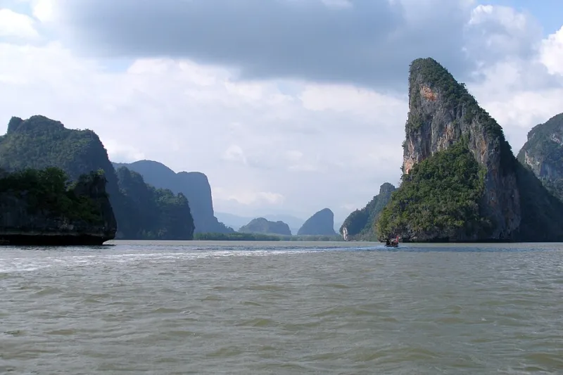
Photo: Vyacheslav Argenberg, CC BY 4.0, via Wikimedia Commons
Picture a map of Puerto Rico. You probably see coastlines, mountains, highways, and towns. What you almost certainly don't picture is the vast plumbing system hidden several hundred feet below all of it — a sprawling karst aquifer that quietly decides where communities thrive, where sugarcane once blanketed the earth, and where modern industry chose to plant its roots. This underground world doesn't make the news much. But in a very real sense, it runs the island.
The Geology Behind the Mystery
Karst terrain forms when slightly acidic rainwater spends thousands of years dissolving soluble bedrock — in Puerto Rico's case, primarily limestone. Over geological time, this slow chemical process carves out tunnels, caverns, sinkholes, and underground river channels. The result is a porous, sponge-like landscape that stores enormous quantities of freshwater in what geologists call an aquifer system.
Puerto Rico's most significant karst zone stretches across the northern coastal plain, running roughly from Aguadilla in the west to San Juan in the east, and dipping down through parts of the southwestern coast as well. This isn't a small feature. The Northern Karst Belt alone covers somewhere around 1,000 square kilometers, and the aquifer beneath it has historically supplied a substantial portion of the island's drinking water, agricultural irrigation, and industrial water needs.
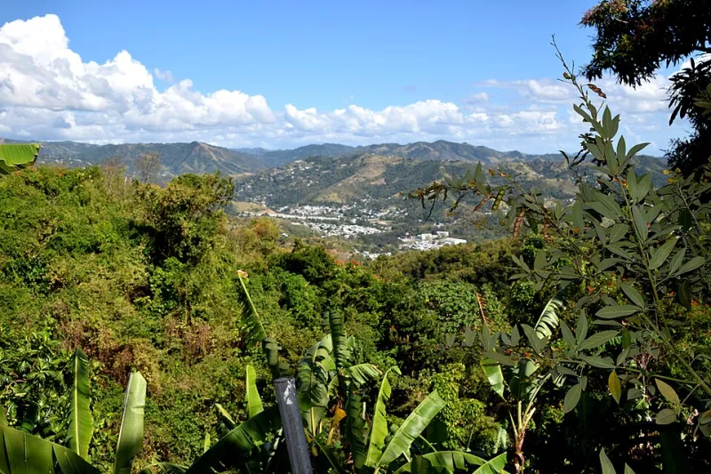
If you've ever driven through Arecibo, Manatí, or Barceloneta and noticed those distinctive rounded limestone hills — called mogotes — rising abruptly from flat ground, you've already seen the surface signature of this underground world. Those hills are what's left after everything around them dissolved away. Beneath your feet in that same stretch of road, rivers are still moving.
Settlement Follows Water, Even When Water Is Hidden
Human beings have always settled near water. That's not news. But in Puerto Rico's karst zone, the water isn't immediately visible — it's underground. So how did it shape settlement patterns?
The answer is that karst landscapes often express themselves at the surface in ways that early settlers could read, even without geological training. Springs emerge where underground water finds an exit point. Streams appear, disappear underground, and reappear miles away. The soil above karst limestone, enriched by centuries of organic material accumulating in sinkholes and depressions, tends to be exceptionally fertile. Early Taíno communities understood this intuitively, and Spanish colonial settlements followed similar logic when they established towns throughout the northern plain.
The agricultural legacy is especially striking. Puerto Rico's sugarcane industry — which dominated the island's economy for much of the 19th and early 20th centuries — was concentrated heavily in the same karst-underlain coastal plains. That wasn't a coincidence. The combination of flat terrain, fertile soils, and accessible groundwater made these zones ideal for large-scale cultivation. The aquifer was essentially subsidizing agriculture from below, even when planters didn't think of it in those terms.
Industry Moved In for the Same Reasons
When Puerto Rico industrialized rapidly under Operation Bootstrap in the mid-20th century, manufacturing plants didn't scatter randomly across the island. They clustered in the northern and northwestern coastal zones — again, directly above the karst aquifer. Pharmaceutical companies, petrochemical facilities, and other water-intensive industries found these locations attractive for multiple reasons: flat land for construction, proximity to ports, highway access, and critically, abundant groundwater.
The municipality of Barceloneta became one of the most pharmaceutically dense places on the planet, earning the nickname "Puerto Rico's Medicine Chest." It sits squarely on top of the karst aquifer. So does much of the Arecibo corridor and the industrial zones around Manatí. The underground water that made this land appealing to farmers centuries ago made it equally appealing to 20th-century industrialists.
This concentration has created serious long-term challenges. Industrial contamination of karst aquifers is notoriously difficult to address. Unlike contamination in surface rivers — where you can trace a plume downstream and intervene — karst groundwater moves through unpredictable fracture networks. A contaminant introduced at one point might surface miles away, in a direction that defies obvious logic. Several Superfund sites in Puerto Rico are located in karst zones, and cleanup efforts have been complicated by exactly this underground complexity.
The Water Security Stakes
Here's where things get urgent. Puerto Rico faces a genuine water security challenge in the coming decades, shaped by climate projections that suggest more intense droughts, shifting rainfall patterns, and increased pressure on existing freshwater supplies. The karst aquifer isn't just a geological curiosity — it's a strategic reserve.
Historically, over-pumping has been a persistent problem. When groundwater is extracted faster than rainfall can recharge the system, water tables drop. In coastal karst zones, this creates an especially nasty problem: saltwater intrusion. As fresh groundwater pressure decreases, seawater from the coast can push inland through the same fracture networks that once carried freshwater. Once an aquifer is contaminated with saltwater, restoring it is extraordinarily expensive and slow.
The Puerto Rico Aqueduct and Sewer Authority (PRASA) has grappled with these dynamics for years, trying to balance groundwater extraction against recharge rates while managing a distribution system that was already aging before Hurricane Maria hit in 2017. Maria's devastation — which knocked out water service to essentially the entire island for months — forced a hard reckoning with how dependent Puerto Rico's population is on infrastructure built above and around this hidden geological system.
Urban Planning's Blind Spot
One of the most persistent challenges in Puerto Rico's development history is that urban planning decisions have frequently been made without adequate attention to what's happening underground. Sinkholes — a natural feature of karst landscapes — have swallowed roads, damaged buildings, and disrupted neighborhoods in multiple municipalities. While some of these events are purely natural, others are accelerated by development that alters drainage patterns, adds weight to unstable ground, or draws down the groundwater that was providing structural support to cavern ceilings.
As Puerto Rico continues to rebuild and reimagine its infrastructure post-Maria, there's a growing conversation among geologists, urban planners, and water resource managers about incorporating karst mapping into development decisions more systematically. The U.S. Geological Survey has maintained monitoring wells across the northern aquifer system for decades, and that data is invaluable — but only if decision-makers actually use it.
Reading the Land Differently
There's something genuinely perspective-shifting about understanding Puerto Rico's karst geography. The next time you drive through the northern coastal plain and pass those stubby limestone hills, or watch a stream vanish into a hillside near Camuy, you're looking at the surface expression of a system that has shaped human life on this island for millennia — and will continue to do so.
The communities built above this aquifer, the crops that grew because of it, the factories that chose this land partly for its water access — all of it connects back to geology that most residents have never seen and rarely think about. That invisible hand has been guiding Puerto Rico's geography of settlement and industry all along. The question now is whether the island can manage this hidden resource wisely enough to make sure it's still there for the next generation.