200 Miles of Ocean and Everything In It: The Hidden Territory That Makes Puerto Rico Priceless to the US
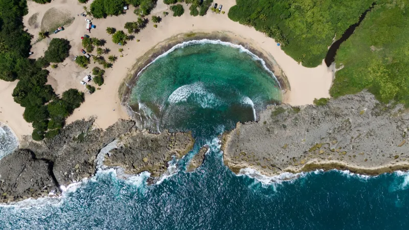
Ask most Americans to describe Puerto Rico's size, and they'll probably say something like "small island" or maybe reference Connecticut—the go-to comparison whenever the island comes up in conversation. And sure, on a map, Puerto Rico looks modest. About 100 miles long, 35 miles wide, roughly 3,500 square miles of land. Easy to overlook.
But zoom out. Way out.
Extend 200 nautical miles from every point along Puerto Rico's coastline, and something remarkable happens. The island stops being small. What emerges is a maritime jurisdiction—the Exclusive Economic Zone, or EEZ—that blankets a vast stretch of the Atlantic Ocean and Caribbean Sea. We're talking about an area closer in scale to Texas than to Rhode Island. And almost nobody outside of maritime law circles talks about it.
That oversight is worth correcting.
What an EEZ Actually Is
Under international law, specifically the United Nations Convention on the Law of the Sea, every coastal nation (and territory) has the right to claim an EEZ extending 200 nautical miles from its shoreline. Within that zone, the controlling government holds exclusive rights to explore, exploit, and manage all natural resources—living and non-living—in the water column, on the seafloor, and beneath it.
Fish stocks. Oil and gas deposits. Mineral nodules on the ocean floor. Even the wind and wave energy moving through that water. All of it falls under the jurisdiction of whoever controls the coastline.
For the United States, Puerto Rico's EEZ isn't just a Caribbean footnote. It's a strategic extension of American sovereign reach into waters that sit at the crossroads of major global shipping routes, rich fishing grounds, and potentially enormous mineral wealth.
The Numbers Behind the Territory
Puerto Rico's EEZ covers roughly 586,000 square kilometers of ocean. To put that in perspective, the island's land area represents less than one percent of its total territorial footprint once you include the maritime zone. The ocean is the real estate here.
That zone wraps around the main island and extends to include Puerto Rico's outlying islands—Vieques, Culebra, Mona, and several smaller cays—each of which pushes the boundary further outward. The EEZ to the north extends into the deep waters above the Puerto Rico Trench, the deepest point in the entire Atlantic Ocean at nearly 28,000 feet. To the south and west, it overlaps with some of the most productive fishing areas in the Caribbean basin.
This isn't abstract geography. These are waters where real economic activity happens every single day.
Fishing Rights in a Productive Sea
The Caribbean has never been the most commercially dominant fishery in the world, but Puerto Rico's surrounding waters support a complex and valuable marine ecosystem. The EEZ gives US-licensed fishers exclusive access to those stocks, while also giving federal agencies the authority to manage and regulate what gets taken out.
For local Puerto Rican fishing communities, this has been a double-edged reality. The same legal framework that protects their fishing grounds from foreign fleets also subjects them to federal regulations that don't always reflect local conditions or traditional practices. It's a tension that shows up in coastal towns across the island—particularly in places like Cabo Rojo, Isabela, and the fishing villages of the east coast.
But from a purely geopolitical standpoint, control of those waters matters. Foreign commercial fishing fleets from Venezuela, the Dominican Republic, and other Caribbean nations cannot legally operate within Puerto Rico's EEZ without US permission. That's a significant form of leverage.
The Strategic Shipping Lane Angle
Here's where things get genuinely interesting for anyone paying attention to global trade and military geography.
Puerto Rico sits at the northeastern edge of the Caribbean, essentially guarding the approach from the Atlantic into the entire Caribbean basin. The Mona Passage—the channel between Puerto Rico and the Dominican Republic—is one of the most heavily trafficked shipping lanes in the Western Hemisphere. Cargo ships, tankers, and naval vessels pass through it constantly, moving between the Atlantic and the Panama Canal.
US military planners have understood this for over a century, which is part of why the US acquired Puerto Rico from Spain in 1898 in the first place. But the EEZ adds a modern legal dimension to that strategic reality. The US can monitor, regulate, and respond to activity in those surrounding waters in ways that purely territorial land claims don't allow.
The Puerto Rico Trench, just north of the island, also holds significance for submarine operations—something the US Navy has never been shy about leveraging. Deep water is useful water when you're running submarines.
What's on the Ocean Floor
The seafloor within Puerto Rico's EEZ contains something that's generating increasing scientific and economic interest: polymetallic nodules and hydrothermal vent deposits. These formations—built up over millions of years on the deep ocean floor—are rich in manganese, cobalt, nickel, copper, and rare earth elements.
Rare earth elements, in particular, have become a major geopolitical flashpoint. They're essential components in smartphones, electric vehicle batteries, wind turbines, and defense technology. China currently dominates global rare earth production, and the US has been actively searching for alternative sources.
Whether Puerto Rico's EEZ contains commercially viable concentrations of these materials is still an open scientific question. Deep-sea mining remains technically challenging and environmentally controversial. But the potential is there, and that potential has real strategic value—even if it never gets extracted.
A Territory Whose Value Exceeds Its Size
There's something almost counterintuitive about Puerto Rico's geographic situation. The island is often discussed in terms of what it lacks—federal voting representation, full economic parity with US states, the ability to chart its own trade policy. Those are legitimate and important conversations.
But the EEZ flips the script. Here is a place whose geographic contribution to American power and interests is enormous, extending hundreds of miles in every direction from its shores. The US holds one of the largest combined EEZ territories in the world, and Puerto Rico is a meaningful chunk of that.
Students learning about Puerto Rico's geography—whether they're on the island or in a classroom in Ohio—are often taught to think about the island in terms of its mountains, its rainforest, its beaches. All of that matters. But the ocean jurisdiction surrounding the island is just as much a part of its geographic identity, and arguably more consequential at the level of international relations and resource economics.
The Geography No One Draws on the Map
Open almost any textbook map of Puerto Rico and you'll see the island rendered in careful detail—municipalities, rivers, elevation contours. What you almost never see is the EEZ boundary drawn around it, that 200-nautical-mile line that transforms a small Caribbean island into a geopolitically significant maritime power.
That absence is telling. It reflects how rarely Puerto Rico gets discussed in terms of what it contributes rather than what it costs or what it lacks.
The ocean doesn't care about those debates. It just keeps extending outward, full of fish and minerals and strategic depth, quietly making Puerto Rico one of the most valuable pieces of real estate—above and below water—in the entire Western Hemisphere.