Drawn in the Dirt: How 500-Year-Old Property Lines Still Run Puerto Rico's Neighborhoods

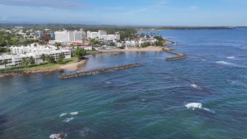
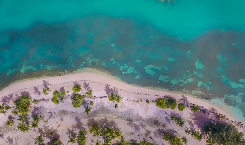
Photo by Photo by MJ Tangonan on Unsplash on Unsplash
Pull up any property map of Puerto Rico's older municipalities — San Germán, Coamo, Arecibo — and something odd jumps out. The streets don't always follow the terrain. Boundaries jog at strange angles. Neighborhoods that feel like one cohesive community are legally split into two or three separate parcels. None of it looks accidental, because it isn't. What you're looking at is the ghost of a 16th-century Spanish land measurement system that never quite went away.
This isn't just a curiosity for historians. Those original survey lines influence where utilities get installed, how infrastructure dollars get distributed, and even how tightly-knit communities define themselves. Understanding Puerto Rico's modern geography means going all the way back to the first surveyors who ever put a stake in its ground.
How Spain Measured a New World
When Spanish colonizers began formally settling Puerto Rico in the early 1500s, they needed a system to divide and assign land. What they reached for was the merced system — a framework of land grants issued by the Crown that carved territory into large, loosely defined tracts. Early grants were described in cordeles and cuerdas, traditional Spanish units of measurement that varied slightly by region and surveyor.
The cuerda — roughly 0.97 acres — became the foundational unit of Puerto Rican land measurement and it's still legally used on the island today. Think about that for a second. While the rest of the US operates in square feet and acres, Puerto Rico's real estate transactions, agricultural records, and property deeds still reference a unit of land measurement that dates to the colonial era. The cuerda didn't survive because it was convenient. It survived because the property records built around it never got fully replaced.
Early land grants weren't just imprecise — they were often deliberately vague. Boundaries were described in relation to rivers, trees, and rock formations that have since moved, died, or eroded entirely. "From the bend in the creek to the large ceiba tree" made perfect sense in 1580. It makes for a legal nightmare in 2024.
The Hacienda Footprint
By the 18th and 19th centuries, Puerto Rico's agricultural economy had matured around large sugar and coffee haciendas, and those estates left an enormous imprint on the land. Hacienda boundaries weren't drawn with future urbanization in mind — they were drawn to maximize arable land, water access, and labor efficiency.
When those haciendas eventually broke apart — through inheritance, debt, American land reform policies after 1898, and urban expansion — their internal divisions became the skeleton of new neighborhoods. The old worker quarters (arrabales) that clustered near hacienda edges became the nuclei of communities that grew outward along paths that once served ox carts and irrigation ditches.
In places like Ponce and Mayagüez, you can still trace the outlines of former haciendas in the way streets kink and neighborhood names change abruptly. The geography of labor and land ownership from 150 years ago is baked into the urban form that residents navigate every single day.
When Old Lines Create Modern Problems
Here's where colonial cartography stops being abstract and starts affecting real people's lives. Puerto Rico has an extraordinarily complex property records system, partly because so many titles trace back through multiple generations of informal inheritance (herencia), hacienda subdivisions, and colonial-era grants that were never formally updated.
Property disputes on the island frequently hinge on the question of which survey takes precedence — a modern cadastral measurement, an American-era record from the early 20th century, or a Spanish colonial deed. Courts have had to untangle cases where three separate documents, each legally valid in their own historical context, describe the same piece of land in three incompatible ways.
This isn't just a legal headache. It has direct consequences for infrastructure. When the boundaries of a parcel are genuinely unclear, utility companies and municipal governments face serious complications in planning water lines, electrical connections, and road extensions. Some communities in Puerto Rico's interior have struggled for decades to get basic services formalized partly because the underlying property geography is still contested.
Barrio Boundaries and Community Identity
Puerto Rico is divided into 78 municipalities, but those municipalities are further subdivided into barrios — administrative units that predate American governance and in many cases trace directly to Spanish colonial designations. There are over 900 named barrios across the island, and their boundaries were largely fixed in the 19th century.
Those boundaries matter more than outsiders might expect. In Puerto Rico, your barrio is a significant part of your geographic identity — it's how people describe where they're from with precision, the way someone from the mainland might specify a neighborhood rather than just a city. But because barrio lines were drawn to reflect agricultural and administrative logic rather than community cohesion, they sometimes cut right through the middle of what feels like a single neighborhood.
A family on one side of an old hacienda boundary line might technically be in a different barrio than their next-door neighbor, even though they share the same street, the same plaza, and the same sense of place. Those invisible lines can mean different school district assignments, different municipal service priorities, and different political representation at the local level.
The Cadastre That Never Quite Caught Up
After the United States took control of Puerto Rico in 1898, there were serious efforts to modernize the island's property records. The American administration created new registry systems and began systematic surveys. But those surveys layered on top of the existing Spanish records rather than replacing them, creating a hybrid system that combined two different legal traditions.
Puerto Rico's modern cadastre — the official property mapping system — has been undergoing reform for years, with significant pushes toward digitization and reconciliation of conflicting records. Progress has been real but uneven. In urban areas, records tend to be cleaner. In rural municipalities and in communities that developed informally over decades, the gap between what the official map says and what's actually on the ground can be enormous.
Post-hurricane reconstruction efforts after María in 2017 exposed just how deep this problem runs. FEMA and other agencies struggled to process aid applications tied to properties that lacked clear legal documentation — a problem rooted directly in centuries of layered, unresolved property geography.
Reading the City Like a Map
For anyone who wants to understand Puerto Rico beyond its beaches, learning to read the island's colonial land geography is one of the most revealing exercises available. Walk through Old San Juan and notice how the street grid was designed for a fortified colonial capital, not organic growth. Drive through the interior and watch how the road network follows old hacienda access paths rather than topographic logic.
The land survey isn't just history — it's infrastructure. It's community. It's the reason your neighbor's water line runs a different direction than yours, and the reason two families who've lived side by side for generations might technically belong to different administrative worlds.
Puerto Rico's geography was written in layers, and the oldest layers never fully erased. They just got paved over, built upon, and argued about in court. The island you see today is, in no small part, the island that Spanish surveyors sketched into existence five centuries ago.