Geografía Puerto Rico Discover the Island's Land, Culture & People

Geografía Puerto Rico

Discover the Island's Land, Culture & People

Latest Articles

Water Beneath Their Feet: How Hidden Aquifers Quietly Built Puerto Rico's Cities
Physical Geography

Water Beneath Their Feet: How Hidden Aquifers Quietly Built Puerto Rico's Cities

Long before zoning laws or urban planners, freshwater aquifers decided where Puerto Ricans would live. Tracing the island's underground hydrology reveals a surprising blueprint for five centuries of settlement — one that still shapes neighborhoods today.
Off the Grid and On the Map: What Puerto Rico's Unofficial Neighborhoods Tell Us About the Island's Real Geography
Environmental Geography

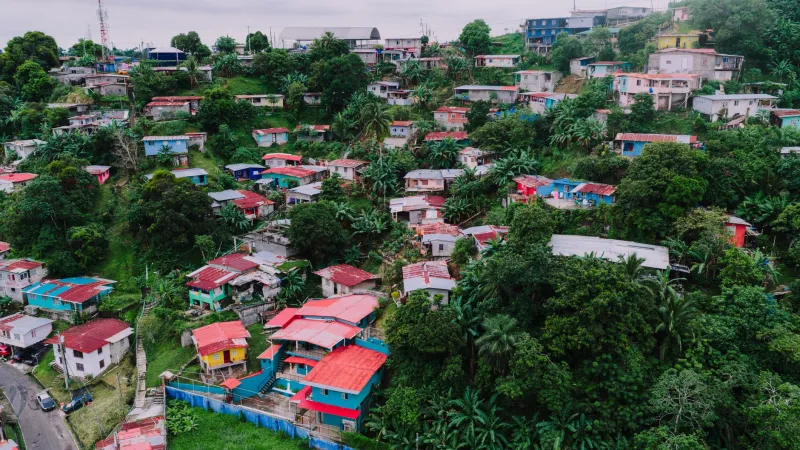
Off the Grid and On the Map: What Puerto Rico's Unofficial Neighborhoods Tell Us About the Island's Real Geography

Puerto Rico's official maps only tell part of the story. Scattered across the island's hillsides, floodplains, and forgotten lots are informal communities that no planning office fully accounts for — and understanding why they exist reveals something profound about land, power, and belonging in Puerto Rico.

Packed Into Every Acre: How Puerto Rico Became a Biodiversity Hotspot With No Room Left to Spare
Environmental Geography

Packed Into Every Acre: How Puerto Rico Became a Biodiversity Hotspot With No Room Left to Spare

Puerto Rico hosts a staggering concentration of species that rivals regions many times its size, but the same geography that created this abundance is now working against it. Urban sprawl, coastal development, and shifting land use are chipping away at the habitats these species depend on, turning one of the Caribbean's most ecologically rich islands into a cautionary tale about space and survival.

Storm Corridors and Settlement: The Hidden Geography That Decides Where Puerto Ricans Call Home
Environmental Geography

Storm Corridors and Settlement: The Hidden Geography That Decides Where Puerto Ricans Call Home

Puerto Rico's hurricane risk isn't just about coastlines — it's a complex web of wind tunnels, rainfall traps, and surge zones carved into the island's geography. These invisible corridors have quietly shaped where communities grow, where property values sink, and which neighborhoods bounce back after every storm. Understanding them might be the most important thing Puerto Rico can do before the next big one hits.

Departure Points and Destinations: The Geography Driving Puerto Rico's Great Migration
Environmental Geography

Departure Points and Destinations: The Geography Driving Puerto Rico's Great Migration

Puerto Rico's population has been shrinking for years, but the story isn't just about numbers — it's about geography. Where people live on the island, how close they are to airports and economic centers, and how exposed they are to climate risk all shape who leaves, when, and where they end up.

Cracked Ground, Coded Buildings: Living on Puerto Rico's Tectonic Fault Line
Physical Geography

Cracked Ground, Coded Buildings: Living on Puerto Rico's Tectonic Fault Line

Puerto Rico doesn't just sit near a tectonic boundary — it straddles one. The collision zone between the North American and Caribbean plates runs right through the island's backyard, and that geological reality quietly shapes everything from where towns get built to how thick a concrete wall needs to be.

What Lies Beneath: The Underground Rivers Quietly Running Puerto Rico's World
Physical Geography

What Lies Beneath: The Underground Rivers Quietly Running Puerto Rico's World

Deep below Puerto Rico's northwestern plains, a hidden network of rivers, caverns, and aquifers has been shaping where people settle, where crops grow, and where factories set up shop for centuries. Most Puerto Ricans live directly above this invisible system without ever knowing it — and understanding it may be the key to the island's water future.

Altitude on Your Plate: How Puerto Rico's Terrain Decides Every Bite You Take
Physical Geography

Altitude on Your Plate: How Puerto Rico's Terrain Decides Every Bite You Take

Puerto Rico's dramatic rise from sea level to mountain peaks isn't just a scenic fact — it's the invisible hand behind every cup of coffee, every plantain, and every plate of fresh catch. The island's topography functions like a natural menu planner, assigning crops and cuisines to the elevations where they thrive best. Once you understand the geography, you'll never look at a Puerto Rican meal the same way again.

Beyond the Shoreline: How Puerto Rico's Ocean Territory Makes It a Caribbean Power Player
Physical Geography

Beyond the Shoreline: How Puerto Rico's Ocean Territory Makes It a Caribbean Power Player

Puerto Rico's influence doesn't stop at the beach. A vast maritime zone stretching 200 nautical miles offshore gives the island legal authority over resources and waters most Americans have never thought about — and it quietly shapes everything from fishing rights to US military strategy in the Caribbean.

Why the Same Towns Keep Flooding: Puerto Rico's Geography of Disaster and Recovery
Physical Geography

Why the Same Towns Keep Flooding: Puerto Rico's Geography of Disaster and Recovery

Puerto Rico doesn't just get hit by hurricanes — it gets hit in the same places, over and over, for reasons baked into the island's physical landscape. From steep karst hillsides to flood-prone coastal corridors, the geography of vulnerability is hiding in plain sight. Understanding why recovery never fully sticks means starting with the land itself.

Pushed to the Margins: How Storms and Sprawl Are Rewriting Puerto Rico's Rural Map
Environmental Geography

Pushed to the Margins: How Storms and Sprawl Are Rewriting Puerto Rico's Rural Map

Puerto Rico's rural heartland is emptying out — and it's not just about economics. A powerful combination of hurricane vulnerability and coastal development pressure is forcing communities off land their families have worked for generations. The island's geography, once a source of identity and resilience, is becoming one of its greatest challenges.

Rooted in the Land: How Puerto Rico's Geography Gave Birth to Its Food
Environmental Geography

Rooted in the Land: How Puerto Rico's Geography Gave Birth to Its Food

Puerto Rico's food isn't just delicious — it's a direct product of volcanic soil, tropical rainfall patterns, and a Caribbean location that made the island a crossroads of ingredients and cultures. From the yuca fields of the interior to the seafood traditions of coastal towns, the island's geography is the original recipe. Here's how place shaped every bite.

Who Gets the Water? The Hidden Geography of Puerto Rico's Aqueduct System
Environmental Geography

Who Gets the Water? The Hidden Geography of Puerto Rico's Aqueduct System

Puerto Rico's water infrastructure wasn't built for everyone — and the geography of who gets reliable service tells a story that stretches back centuries. From colonial-era plantation networks to modern-day boil advisories in mountain communities, water access on the island has always been about power as much as pipes.

Lines Drawn Long Ago: How Spanish Colonial Geography Still Runs Puerto Rico's Map
Physical Geography

Lines Drawn Long Ago: How Spanish Colonial Geography Still Runs Puerto Rico's Map

Puerto Rico's 78 municipalities, its coastal urban clusters, and its isolated mountain communities didn't take shape by accident. They were drawn and developed across five centuries of colonial decisions — and those decisions still determine who has running water, reliable roads, and economic opportunity today. Understanding the island's geography means understanding the history baked into it.

Small Island, Enormous Life: The Science Behind Puerto Rico's Staggering Biodiversity
Environmental Geography

Small Island, Enormous Life: The Science Behind Puerto Rico's Staggering Biodiversity

Puerto Rico is barely the size of Connecticut, yet it packs more species diversity per square mile than most places on Earth. The reasons why come down to a fascinating mix of geology, geography, and millions of years of ecological isolation. Here's what makes this island one of the most biologically dense places in the Western Hemisphere.

Paved, Patched, and Forgotten: What Puerto Rico's Roads Say About Power and Place
Environmental Geography

Paved, Patched, and Forgotten: What Puerto Rico's Roads Say About Power and Place

Puerto Rico's road network isn't just a way to get from point A to point B — it's a map of history, money, and who got left out. From the smooth expressways ringing San Juan to the crumbling mountain roads of the interior, the island's infrastructure tells a story that no textbook quite captures.

Beneath the Surface: Puerto Rico's Hidden World of Caves, Limestone, and Ancient Stone
Physical Geography

Beneath the Surface: Puerto Rico's Hidden World of Caves, Limestone, and Ancient Stone

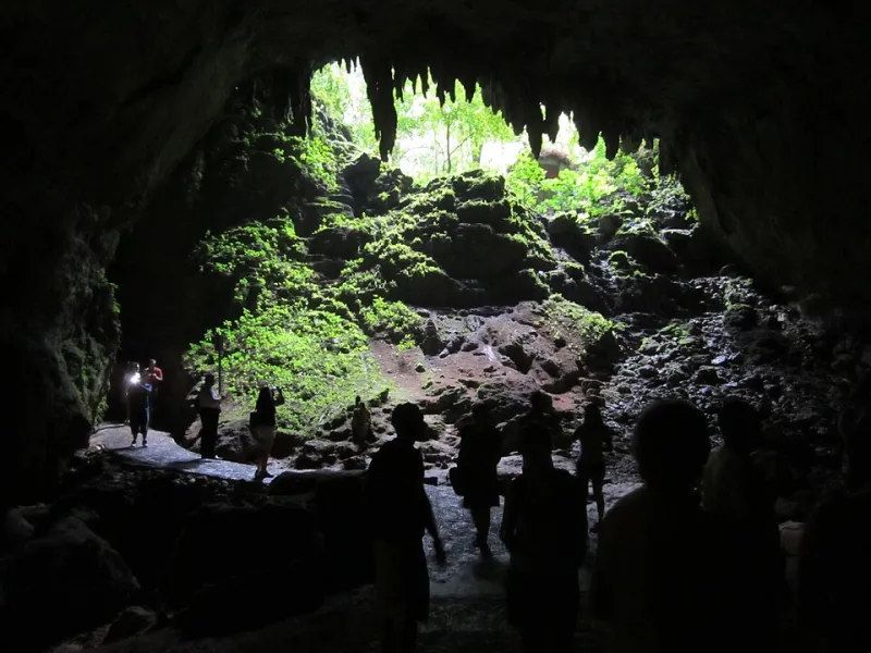
Most people think of Puerto Rico as beaches, rainforest, and mountains — but there's an entire world underground that shapes everything from the island's water supply to its archaeological record. The cave systems and limestone formations beneath the surface are some of the most geologically significant features in the entire Caribbean.

Left Behind and Coming Back: The Forgotten Communities That Tell Puerto Rico's Real Story
Environmental Geography

Left Behind and Coming Back: The Forgotten Communities That Tell Puerto Rico's Real Story

Scattered across Puerto Rico's mountains and coastlines are communities that history seemed to pass by — former sugar towns, remote highland villages, and coastal settlements that emptied out over decades. But the geography that once isolated these places is now drawing people back, and their stories say a lot about who Puerto Ricans are and where the island is headed.

Currents, Catches, and Storms: The Ocean Forces That Run Puerto Rico's World
Physical Geography

Currents, Catches, and Storms: The Ocean Forces That Run Puerto Rico's World

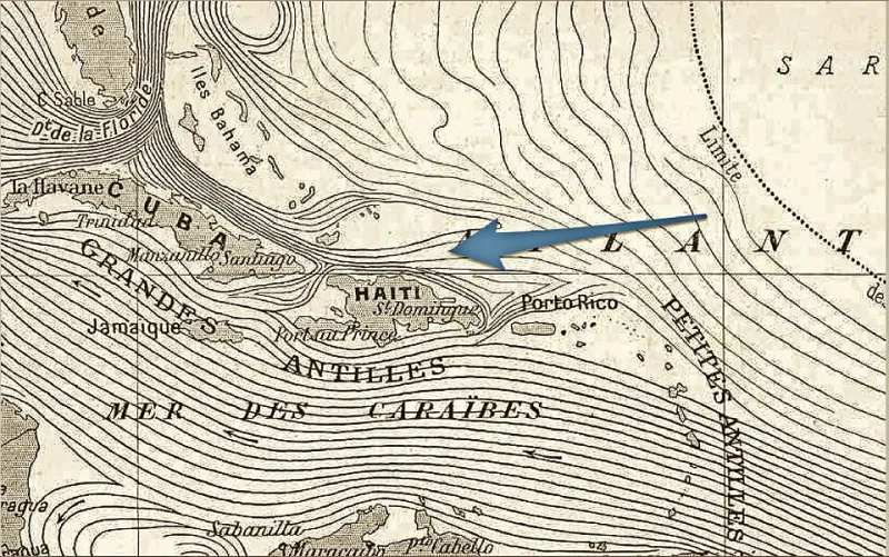
Puerto Rico doesn't just sit in the ocean — it's actively shaped by it. From the fish on your plate to the hurricane bearing down on the coast, the Atlantic and Caribbean currents call a lot of the shots. Here's why those invisible rivers of water matter more than most people realize.

Eight Places in Puerto Rico That Make You Question What 'Normal' Nature Even Looks Like
Environmental Geography

Eight Places in Puerto Rico That Make You Question What 'Normal' Nature Even Looks Like

Puerto Rico packs an almost unreasonable variety of ecosystems into an island you can drive across in a couple of hours. Glowing bays, ancient cave networks, cloud-draped rainforests, and salt flats that look like they belong on another planet—these aren't just pretty stops on a road trip. They're geography lessons you can actually walk through.